Intense Rain Triggers Flash Flooding in Southeast Nebraska
Wave after wave of strong thunderstorms drop up to seven inches of rain in some areas.
 By News Channel Nebraska
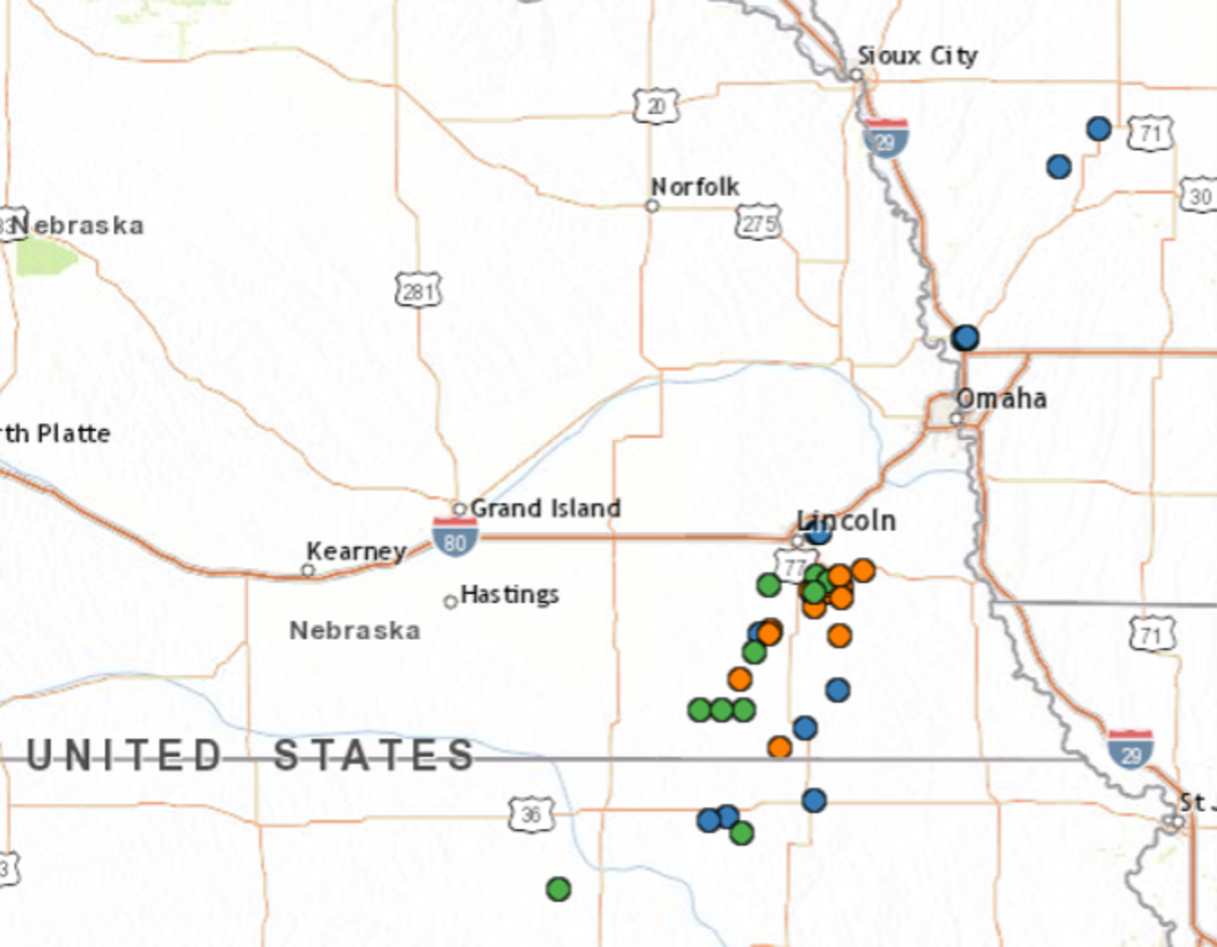
BEATRICE – More than a half-foot of rain fell on southeast Nebraska areas from intense thunderstorms, overnight. The National Weather Service issued a flash flood warning for Jefferson and Central Gage Counties, through 5:15 a.m., along with a flood warning for Salt Creek in southern Lancaster County. That was then replaced by a flood warning for Gage and Jefferson Counties, and portions of Saline, Johnson and Pawnee Counties.
Early Friday, forecasters said four to eight inches of rain fell over the warned areas over a twelve-hour period. Rapid rises in rivers and streams were possible, along with road flooding.
Two to three inches of rain had fallen in areas of Gage, Jefferson and Saline Counties by mid-Thursday evening. Creeks were out of their banks in the Panama, Firth and Palmyra areas.
Significant lowland flooding was reported in the Clatonia area of northwest Gage County, where an observer reported four-and-a-half inches of rain had fallen as of nine p.m., Thursday.
In Jefferson County, quarter sized hail was reported at Fairbury, Jansen and Harbine. Some power lines were reported blown down in Wymore, in southern Gage County. A center pivot irrigation system was flipped, about two miles northwest of Virginia, in eastern Gage County.
Hickman, Bennett and the area around Martell received dime-sized to quarter-sized hail. Five miles east of Lincoln, an observer reported that trees were uprooted or snapped by high thunderstorm winds.